
Welcome to PlacefileNation!
PlacefileNation was created and is maintained by a team of seasoned meteorologists and weather enthusiasts to provide weather data placefiles for GRLevelX, GR2, GR3, WSV3, and Supercell Wx applications for across the United States. Analyzing radar, with reliable data overlays, provides a more seamless, worry-free experience. We know this, which is why we manage and monitor our own data feeds. In an effort to make our site more useful, we appreciate feedback sent to placefilenation@gmail.com.
Scattered damaging winds and a brief tornado are possible across northern New England this afternoon. Isolated/sporadic damaging winds may also occur across a broad swath of the Northeast/Mid-Atlantic to the southern High Plains. A confined corridor of large hail and severe gusts appears possible from north-central Montana to southwest North Dakota this evening.
|
Description: Label: This is the name of the location of your center point of your range ring. Coordinates: Center of the Circle (Lat, Lon) Must have comma between Lat, Lon |
Quick Colors: Highlight and copy the RGB values.
|
Observations
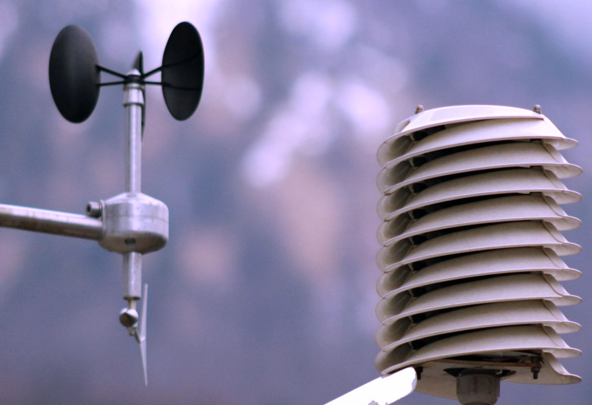
PlacefileNation brings current color-coded observations. Sampled every 5 minutes.
Metars - https://placefilenation.com/Placefiles/metars.php
Temps - https://placefilenation.com/Placefiles/temps.php
Dew Points - https://placefilenation.com/Placefiles/dp.php
Visiblities - https://placefilenation.com/Placefiles/vis.php
Gusts - https://placefilenation.com/Placefiles/gusts.php
Wind Chill - https://placefilenation.com/Placefiles/wc.php
Heat Index - https://placefilenation.com/Placefiles/hi.php
Buoys - https://placefilenation.com/Placefiles/buoys.php
RAWS - https://placefilenation.com/Placefiles/RAWS.php
Near Real-Time Lightning
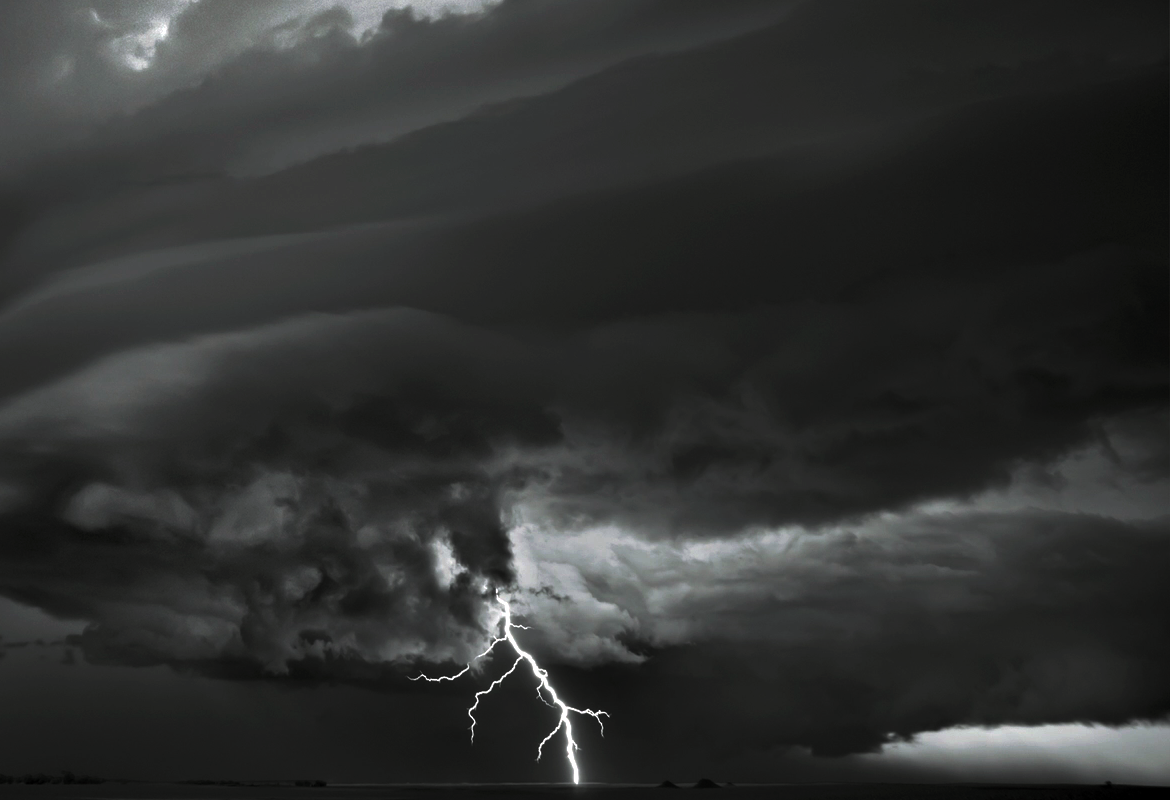
Plot total lightning data near realtime sampled every four minutes.
Last 60 minute lightning strikes
https://placefilenation.com/Placefiles/60lightning.php
Last 40 minute lightning strikes
https://placefilenation.com/Placefiles/40lightning.php
Last 20 minute lightning strikes
https://placefilenation.com/Placefiles/20lightning.php
Crowd-sourced mPING Data
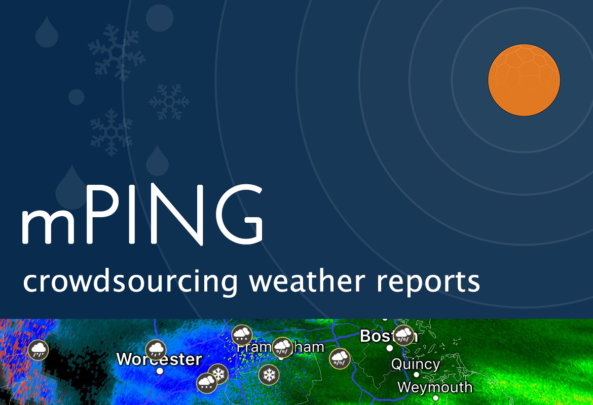
See what spotters and weather enthusiasts see and report that are sampled every 4 minutes.
Last 15 minute reports
https://placefilenation.com/Placefiles/mping_15min.php
Last 30 minute reports
https://placefilenation.com/Placefiles/mping_30min.php
Last 60 minute reports
https://placefilenation.com/Placefiles/mping_60min.php
Last 5 hour reports
https://placefilenation.com/Placefiles/mping_300min.php
Last 24 hour reports (12Z to 12Z)
https://placefilenation.com/Placefiles/mping_1440min.php

CoCoRaHS Data
CoCoRaHS is a grassroots volunteer network of backyard weather observers of all ages and backgrounds working together to measure and map precipitation in their local communities. Visually see the cocorahs rain and snow reports from across the US. Zeros are removed. These are 24 hour reports sampled every 30 minutes from 11Z to 20Z
Rain
https://placefilenation.com/Placefiles/cocorahs_rain.php
Snow
https://placefilenation.com/Placefiles/cocorahs_snow.php
Alerts Watches and Warnings
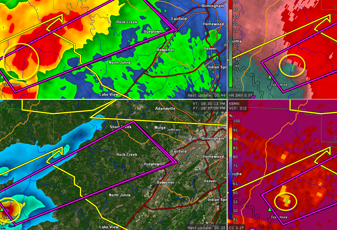
Get realtime county watch, advisories, alerts and special weather statements, color-coded to NWS standards.
NWS Alert Areas
https://placefilenation.com/Placefiles/alert-areas.php
No Icon - NWS Alert Areas
https://placefilenation.com/Placefiles/alert-areas_noicons.php
Marine Alert Areas
https://placefilenation.com/Placefiles/alert-marine-areas.php
Watches
https://placefilenation.com/Placefiles/severeWatch.php
Polygons Unshaded
https://placefilenation.com/Placefiles/nws_polygons.php
Marine Polygons
https://placefilenation.com/Placefiles/nws_marine_polygons.php
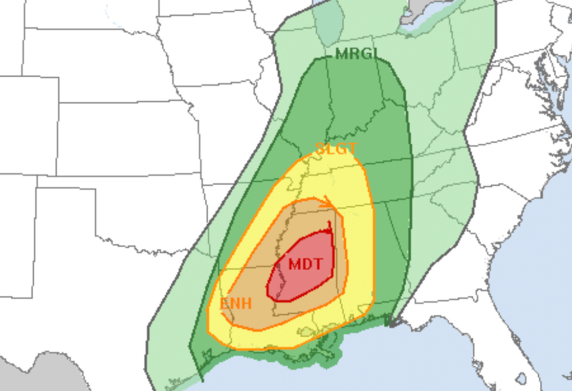
Thunderstorm Outlooks
Plot convective outlooks and discussions for significant weather impacts.
Convective Outlooks
Day 1 - https://placefilenation.com/Placefiles/spcday1.php
Day 1 Shaded - https://placefilenation.com/Placefiles/day1_shaded.php
Day 2 - https://placefilenation.com/Placefiles/spcday2.php
Day 3 - https://placefilenation.com/Placefiles/spcday3.php
Mesoscale Discussions
https://placefilenation.com/Placefiles/mcd.php
Day 1 Probabilities
Tor - https://placefilenation.com/Placefiles/tornado.php
Hail - https://placefilenation.com/Placefiles/hail.php
Wind - https://placefilenation.com/Placefiles/wind.php
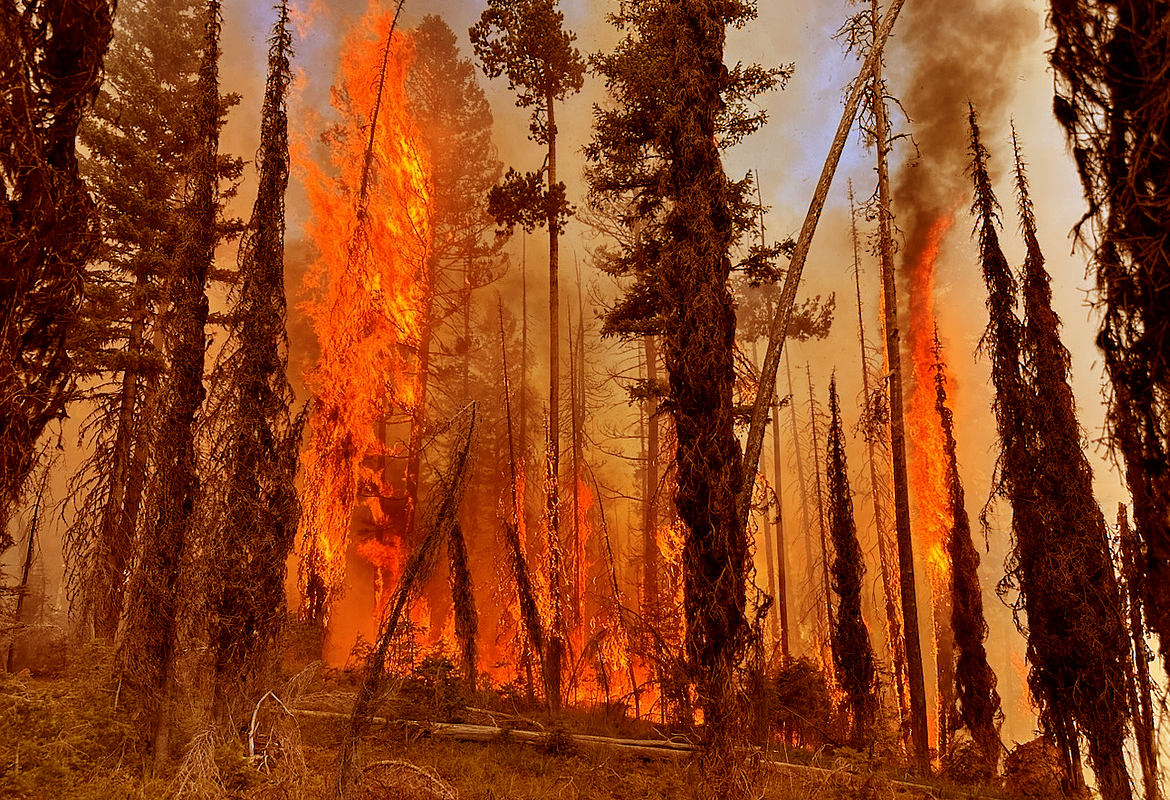
Fire Weather/Spot Forecast Monitor
Monitor InciWeb Wildfire Reports along with all stages of spot requests and forecasts or any pending spot request.
InciWeb Wildfire Reports
https://placefilenation.com/Placefiles/wildfile_placefile.php
Spot Forecast Monitor
https://placefilenation.com/Placefiles/spot-placefile.php
Pending Spot Forecast Monitor
https://placefilenation.com/Placefiles/spot-placefile-pending.php
Day 1 Fire Weather Outlook
https://placefilenation.com/Placefiles/day1firewx.php
Day 2 Fire Weather Outlook
https://placefilenation.com/Placefiles/day2firewx.php
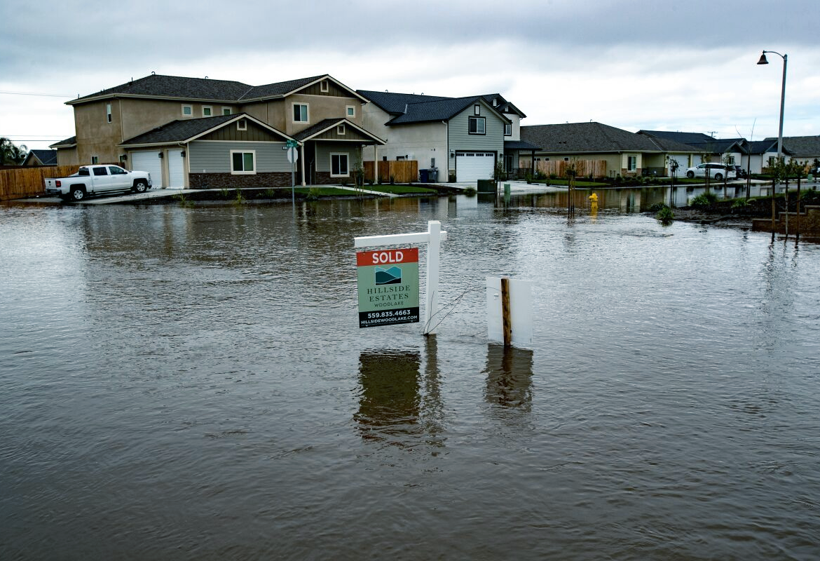
National Water Prediction Service (NWPS)
formally known as
Advanced Hydrologic Prediction Service (AHPS)
Plot all of the river gauges or filter river gauge data to just those that are in action stage or higher.
Filtered
https://placefilenation.com/Placefiles/ahps-placefile-alerts.php
Non-Filtered
https://placefilenation.com/Placefiles/ahps-placefile.php

Misc NWS Plots
CWA - https://placefilenation.com/Placefiles/nws_cwa_boundaries.php
Radar Status - https://placefilenation.com/Placefiles/radar_status.php
NWR Sites - https://placefilenation.com/Placefiles/noaaradio.php

Earthquakes
Plot hourly and daily earthquakes using our Placefiles
Hourly Earthquakes https://placefilenation.com/Placefiles/earthquakes_last_hour.php
24 Hour Earthquakes https://placefilenation.com/Placefiles/earthquakes_last_day.php
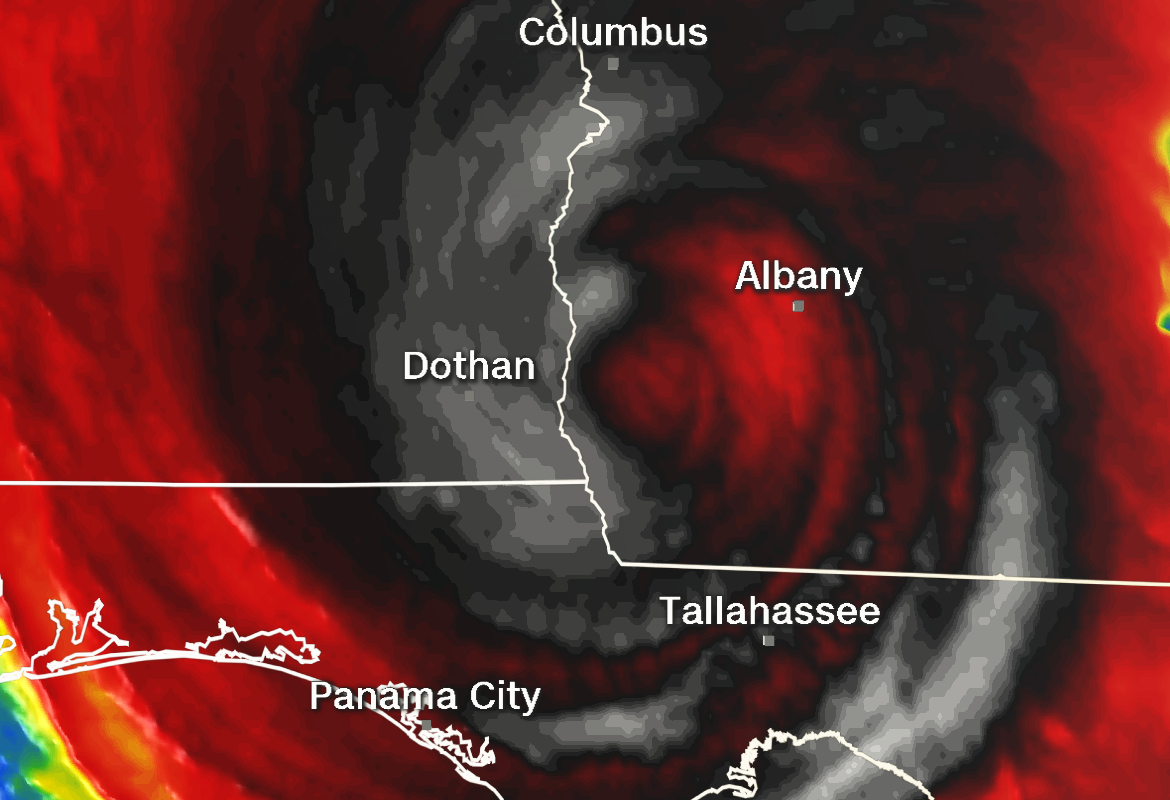
Atlantic and Eastern Pacific Hurricane Tracks
Visually see forecast tracks of Atlantic/Gulf of Mexico and Eastern Pacific Tropical Storms and Hurricanes. Only visible near radar covered landmasses.
Atlantic Tracks
https://placefilenation.com/Placefiles/nhc.php
Eastern Pacific Tracks
https://placefilenation.com/Placefiles/epnhc.php
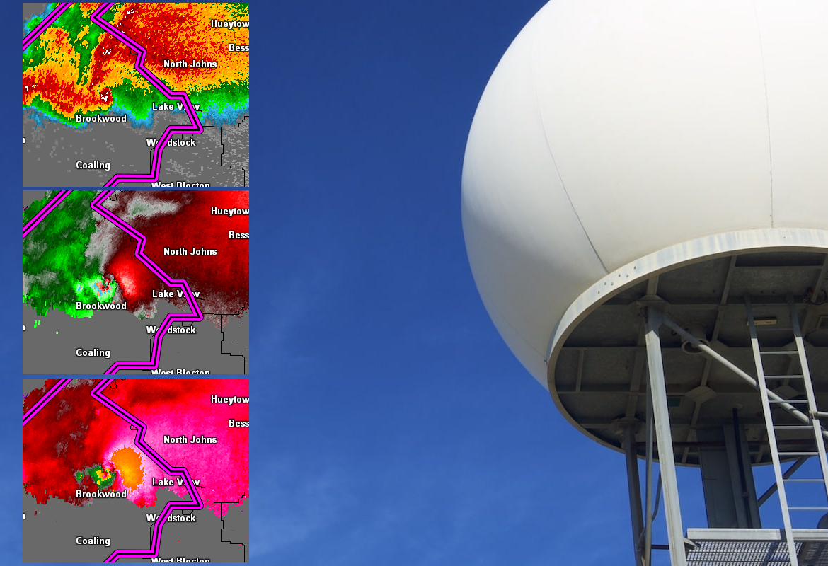
PlacefileNation's Color Curves
Use PlacefileNation's color curves for enhanced radar analysis. Just download and replace the color table settings.
Base Reflectivity(BR/Z)
https://placefilenation.com/pal/placefilenation_br.pal
Base Velocity(BV/V)
https://placefilenation.com/pal/placefilenation_bv.pal
Storm-Relative Velocity (SRV/SRM)
https://placefilenation.com/pal/placefilenation_srv.pal
